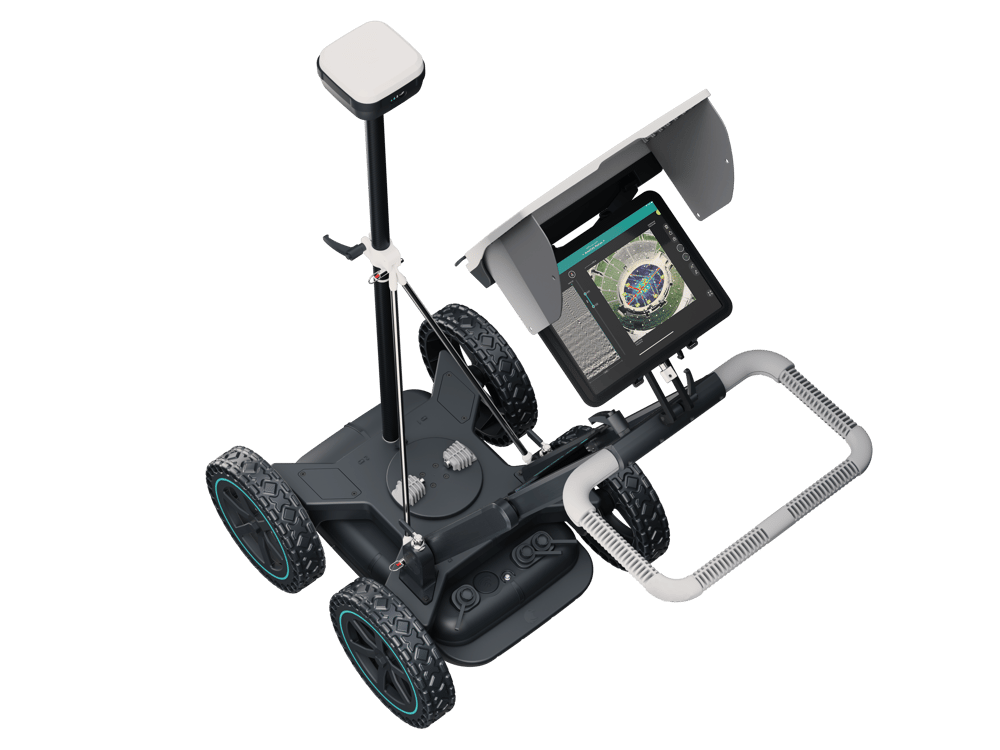
UTILITY GPR mapping SOLUTION
Utility surveys made easy
Locate and map objects under the surface with the most advanced GPR mapper in the market
UTILITY GPR MAPPING SOLUTION
Get a clear image of the underground in real time
Discover the ground-breaking 'Free Path' capability of GS8000:
-
Scan freely without setting out grids
-
Look at the big picture on a live tomographic map
-
Determine depths precisely on the radar image
UTILITY GPR MAPPING SOLUTION
Reduce your workload by capturing precise location data on-site
Thanks to the GS8000's advanced geo-positioning you will:
-
Record every finding with cm-level accuracy
-
Map the lines on-site and add geo-located metadata
-
Get it plotted in your local coordinate system
UTILITY GPR MAPPING SOLUTION
Save time and cost on your workflows
With its intuitive software, you can visualize, report, and share your utility line data effortlessly, all in a matter of seconds:
-
Share your data with your clients, anytime, anywhere
-
Enjoy on-the-go exporting options like DXF, KML, and SEGY available right from your iPad, streamlining fieldwork
-
Get advanced post-processing tools on the web, almost instantly

UTILITY GPR MAPPING SOLUTION
The GS8000 cutting-edge characteristics
Explore the different attributes that make the GS8000 unique:
-
Radar technology: Stepped-frequency Continuous-Wave GPR
-
Modulated frequency range: 40 - 3440 MHz
-
Min. detectable target size: 1 cm | 0.4 in
-
Spatial interval: Up to 100 scans/m
-
GNSS receiver: Multiband GPS + Glonass + Galileo + Beidou SSR augmentation / NTRIP RTK-compatible
-
Weight: 24 Kg
-
Dimensions: 61 x 57 x 38 cm
-
Connectivity: WiFi, Ethernet, USB-A, USB-B, USB-C, Lemo
Ready to transform your workflow?
Our experts are available worldwide for you.